What is Blackshark.ai?
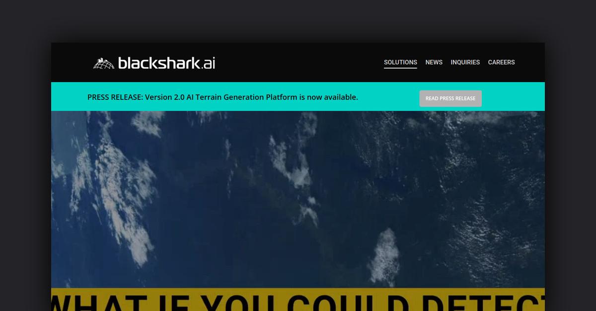
Blackshark.ai is a geospatial platform that utilizes AI and geospatial data to create a photorealistic, semantic, and machine-readable 3D digital twin of the entire planet.
What Makes Blackshark.ai Unique?
This platform stands out by ingesting various data sources, including satellite and aerial imagery, to generate an accurate geo-referenced 3D map database. Its patented no-code labeling solution allows for rapid AI model training, enabling powerful neural networks to detect and extract infrastructure features efficiently.
Key Features
- Global Coverage: Comprehensive 3D semantic mapping of the entire planet.
- Photorealistic Rendering: Realistic depictions of buildings, trees, and terrain.
- Frequent Updates: Regular refreshes using the latest satellite and aerial imagery.
- AI-Driven: Automated extraction of features and 3D mapping capabilities.
- Interoperability: Exports to common formats compatible with simulation engines.
- Scalability: Utilizes extensive cloud computing for quick processing and delivery.
- Customizability: Tailored machine learning models for specific object detection requirements.
Pros & Cons Table
| Pros |
Cons |
| Comprehensive global mapping |
Custom solutions may require consultation |
| High-quality photorealistic detail |
Pricing details not publicly available |
| Frequent data updates |
Requires cloud access for full functionality |
Who is Using Blackshark.ai?
- Defense Organizations: Modernizing terrain databases for simulation and training.
- Commercial Airlines and Pilot Schools: Enhancing flight simulators with realistic global terrain.
- Urban Planners and GIS Teams: Utilizing updated 3D city models for planning purposes.
- Telecom Providers: Planning 5G infrastructure with accurate city models and vegetation data.
- Insurance Companies: Analyzing risk exposure through property change detection.
- Autonomous Vehicle Companies: Creating labeled datasets for training self-driving algorithms.
Support Options
- Email support available for all customers.
- Consulting services for data integration into workflows.
- Customization of machine learning models for specialized feature extraction.
Pricing
Blackshark.ai provides custom solutions tailored to each customer’s specific use case. For detailed pricing information, please contact their sales team.
Please note that pricing information may not be up to date. For the most accurate and current pricing details, refer to the official Blackshark.ai website.
Integrations and API
- Azure Cloud Services: Access Blackshark.ai data and analytics through Microsoft Azure.
- Common Export Formats: Compatible with simulation engines like Unity and Unreal Engine.
- API Access: APIs available for direct access to Blackshark’s 3D global map data, with some datasets also accessible via Microsoft Azure geospatial services.
FAQ
- How often is the global data updated? Regular updates occur from the latest satellite imagery and aerial survey data, with key cities updated weekly and a full planet refresh approximately quarterly.
- What geospatial data sources do you use? The platform utilizes public and commercial high-resolution satellite imagery, commercial aerial survey imagery, and publicly available DEM and vector layers.
- What file formats are available for export? Available formats include Filmbox (FBX), COLLADA, OBJ, glTF, and Esri Shapefiles, among others. For more options, please contact sales.
Useful Links and Resources